Digital Surface and Terrain Models from Vantor’s Precision3D Product Line Added to Satellite Data Explorer
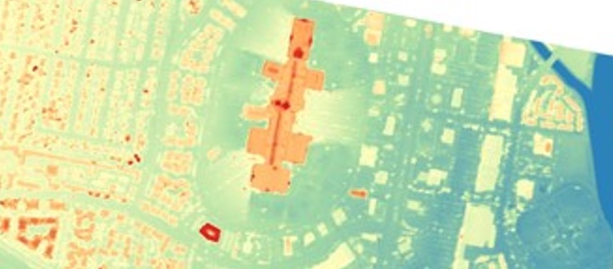
4 min read Digital Surface and Terrain Models from Vantor’s Precision3D Product Line Added to Satellite Data Explorer NASA’s Commercial Satellite Data Acquisition (CSDA) Program announces the addition of three digital elevation and digital terrain products from Vantor’s ...
🔗 Read more: https://science.nasa.gov/uncategorized/digital-surface-and-terrain-models-from-vantors-precision3d-product-line-added-to-satellite-data-explorer/
#News #WorldNews #Climate #Tech #Space #Software #Science
Edited
science.nasa.gov
Digital Surface and Terrain Models from Vantor’s Precision3D Product Line Added to Satellite Data Explorer
4 min read Digital Surface and Terrain Models from Vantor’s Precision3D Product Line Added to Satellite Data Explorer NASA’s Commercial Satellite Data Acquisition (CSDA) Program announces the addition of three digital elevation and digital terrain products from Vantor’s Precision3D Product Line to...
Comments
Log in to leave a comment.
No comments yet. Be the first to comment!